
Thank you for supporting this site ❤️
Make a donation
Make a donation
Cajon Pass topographic map
Click on the map to display elevation.
Thank you for supporting this site ❤️
Make a donation
Make a donation
Cajon Pass
Cajon Pass (/kəˈhoʊn/; Spanish: Puerto del Cajón or Paso del Cajón) is a mountain pass between the San Bernardino Mountains to the east and the San Gabriel Mountains to the west in Southern California. Created by the movements of the San Andreas Fault, it has an elevation of 3,777 ft (1,151 m). Located in the Mojave Desert, the pass is an important link from the Greater San Bernardino Area to the Victor Valley, and northeast to Las Vegas. The Cajon Pass area is on the Pacific Crest Trail.
Thank you for supporting this site ❤️
Make a donation
Make a donation
About this map
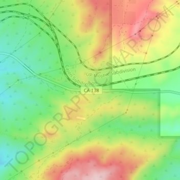
Name: Cajon Pass topographic map, elevation, terrain.
Average elevation: 1,169 m
Minimum elevation: 1,047 m
Maximum elevation: 1,316 m
Thank you for supporting this site ❤️
Make a donation
Make a donation