
Steinbach topographic map
Interactive map
Click on the map to display elevation.
About this map
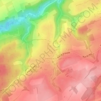
Name: Steinbach topographic map, elevation, terrain.
Location: Steinbach, Gouvy, Bastenaken, Luxemburg, Wallonië, 6670, België (50.13824 5.89463 50.15584 5.91423)
Average elevation: 476 m
Minimum elevation: 380 m
Maximum elevation: 527 m