
Redway topographic map
Interactive map
Click on the map to display elevation.
About this map
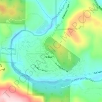
Name: Redway topographic map, elevation, terrain.
Average elevation: 176 m
Minimum elevation: 80 m
Maximum elevation: 384 m
Redway is a census-designated place (CDP) in Humboldt County, California, United States. Redway is located 2.25 miles (3.6 km) northwest of Garberville, at an elevation of 538 feet (164 m). The population was 1,225 at the 2010 census, up from 1,188 at the 2000 census.