
Rabosée topographic map
Interactive map
Click on the map to display elevation.
About this map
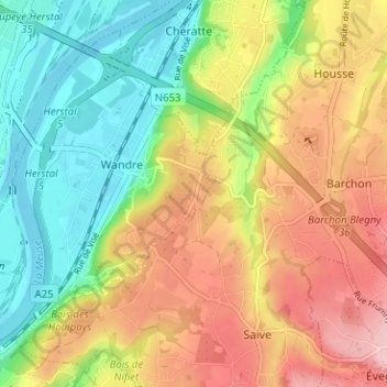
Name: Rabosée topographic map, elevation, terrain.
Location: Rabosée, Wandre, Liège, Wallonie, 4000, Belgique (50.64712 5.65164 50.68712 5.69164)
Average elevation: 133 m
Minimum elevation: 53 m
Maximum elevation: 227 m