
Kingston topographic map
Interactive map
Click on the map to display elevation.
About this map
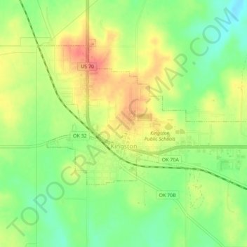
Name: Kingston topographic map, elevation, terrain.
Location: Kingston, Marshall County, Oklahoma, United States (33.98954 -96.73469 34.01380 -96.69164)
Average elevation: 239 m
Minimum elevation: 208 m
Maximum elevation: 272 m