
Kasy District topographic map
Interactive map
Click on the map to display elevation.
About this map
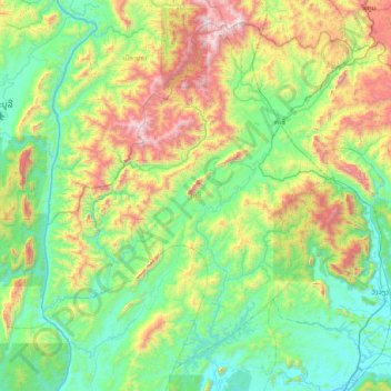
Name: Kasy District topographic map, elevation, terrain.
Location: Kasy District, Vientiane Province, 10100, Laos (18.77699 101.78958 19.41357 102.54912)
Average elevation: 698 m
Minimum elevation: 202 m
Maximum elevation: 2,061 m