
Laapersveld topographic map
Interactive map
Click on the map to display elevation.
About this map
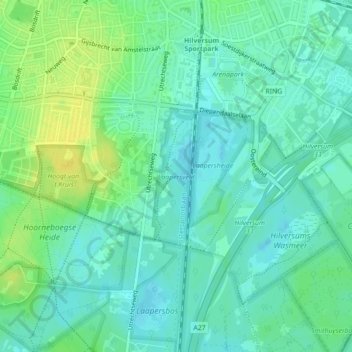
Name: Laapersveld topographic map, elevation, terrain.
Location: Laapersveld, Hilversum, Noord-Holland, Nederland (52.20002 5.17992 52.21063 5.18655)
Average elevation: 8 m
Minimum elevation: -1 m
Maximum elevation: 21 m
Other topographic maps
Click on a map to view its topography, its elevation and its terrain.
Hoorneboegse Heide
Nederland > Noord-Holland > Hilversum
Hoorneboegse Heide, Hilversum, Noord-Holland, Nederland, 1213 RS, Nederland
Average elevation: 7 m