
北王庄村 topographic map
Interactive map
Click on the map to display elevation.
About this map
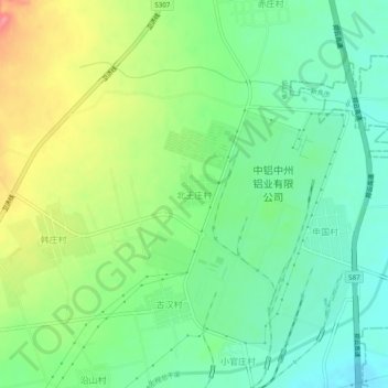
Name: 北王庄村 topographic map, elevation, terrain.
Location: 北王庄村, 修武县, 焦作市, 河南省, 中国 (35.35945 113.41738 35.39945 113.45738)
Average elevation: 133 m
Minimum elevation: 101 m
Maximum elevation: 187 m
Other topographic maps
Click on a map to view its topography, its elevation and its terrain.