
Dagai topographic map
Interactive map
Click on the map to display elevation.
About this map
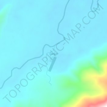
Name: Dagai topographic map, elevation, terrain.
Average elevation: 145 m
Minimum elevation: 62 m
Maximum elevation: 797 m
Other topographic maps
Click on a map to view its topography, its elevation and its terrain.
Tingginambut
Indonesia > Central Papua > Puncak Jaya
Tingginambut, Puncak Jaya, Central Papua, Western New Guinea, Indonesia
Average elevation: 1,732 m