
Grassland topographic map
Interactive map
Click on the map to display elevation.
About this map
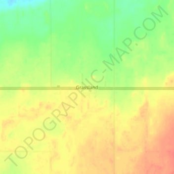
Name: Grassland topographic map, elevation, terrain.
Location: Grassland, Alberta, T0A 1V0, Canada (54.80056 -112.70583 54.84056 -112.66583)
Average elevation: 584 m
Minimum elevation: 558 m
Maximum elevation: 605 m