
Jamta topographic map
Interactive map
Click on the map to display elevation.
About this map
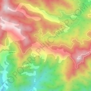
Name: Jamta topographic map, elevation, terrain.
Location: Jamta, Nahan, Sirmaur District, Himachal Pradesh, India (30.57967 77.29491 30.61967 77.33491)
Average elevation: 1,086 m
Minimum elevation: 685 m
Maximum elevation: 1,420 m