
Kirchboitzen topographic map
Interactive map
Click on the map to display elevation.
About this map
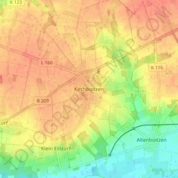
Name: Kirchboitzen topographic map, elevation, terrain.
Location: Kirchboitzen, Heidekreis, Niedersachsen, Deutschland (52.80808 9.47027 52.84808 9.51027)
Average elevation: 51 m
Minimum elevation: 22 m
Maximum elevation: 68 m