
Eindhout topographic map
Interactive map
Click on the map to display elevation.
About this map
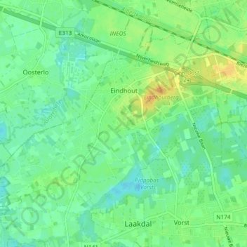
Name: Eindhout topographic map, elevation, terrain.
Location: Eindhout, Laakdal, Turnhout, Antwerpen, Vlaanderen, België (51.08164 4.95887 51.11597 5.03181)
Average elevation: 18 m
Minimum elevation: 7 m
Maximum elevation: 35 m
Other topographic maps
Click on a map to view its topography, its elevation and its terrain.