
Thank you for supporting this site ❤️
Make a donation
Make a donation
Candipuro topographic map
Click on the map to display elevation.
Thank you for supporting this site ❤️
Make a donation
Make a donation
About this map
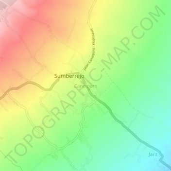
Name: Candipuro topographic map, elevation, terrain.
Location: Candipuro, Lumajang, East Java, Java, Indonesia (-8.20841 113.05533 -8.16841 113.09533)
Average elevation: 309 m
Minimum elevation: 204 m
Maximum elevation: 440 m
Thank you for supporting this site ❤️
Make a donation
Make a donation