
Lida topographic map
Interactive map
Click on the map to display elevation.
About this map
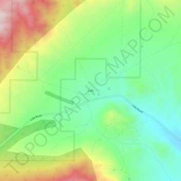
Name: Lida topographic map, elevation, terrain.
Location: Lida, Esmeralda County, Nevada, United States (37.43826 -117.51814 37.47826 -117.47814)
Average elevation: 1,965 m
Minimum elevation: 1,782 m
Maximum elevation: 2,270 m
Other topographic maps
Click on a map to view its topography, its elevation and its terrain.
Dyer
United States > Nevada > Esmeralda County
Dyer, Esmeralda County, Nevada, 89010, United States
Average elevation: 1,494 m
Goat Island
United States > Nevada > Esmeralda County
Goat Island, Esmeralda County, Nevada, 89047, United States
Average elevation: 1,303 m
Silver Peak
United States > Nevada > Esmeralda County
Silver Peak, Esmeralda County, Nevada, 89047, United States
Average elevation: 1,350 m
Goldfield
United States > Nevada > Esmeralda County > Goldfield
Goldfield, Esmeralda County, Nevada, 89013, United States
Average elevation: 1,778 m