
Bredeah topographic map
Interactive map
Click on the map to display elevation.
About this map
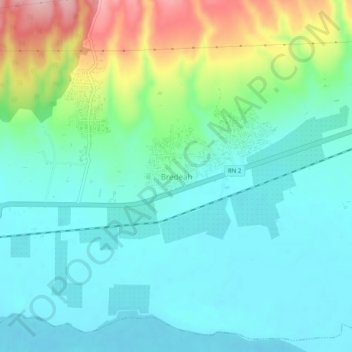
Name: Bredeah topographic map, elevation, terrain.
Location: Bredeah, Boutlelis, Daïra Boutlelis, Oran, Algérie (35.55598 -0.87494 35.59598 -0.83494)
Average elevation: 124 m
Minimum elevation: 75 m
Maximum elevation: 266 m