
Breese topographic map
Interactive map
Click on the map to display elevation.
About this map
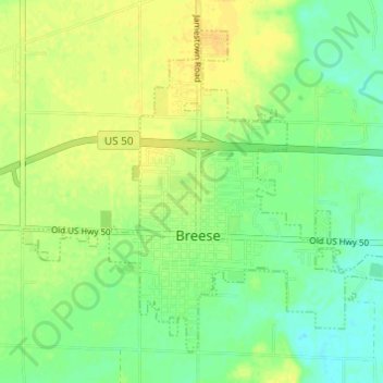
Name: Breese topographic map, elevation, terrain.
Location: Breese, Clinton County, Illinois, 62230, United States (38.59614 -89.55384 38.63618 -89.49306)
Average elevation: 139 m
Minimum elevation: 127 m
Maximum elevation: 151 m
Other topographic maps
Click on a map to view its topography, its elevation and its terrain.
Germantown
United States > Illinois > Clinton County
Germantown, Clinton County, Illinois, United States
Average elevation: 132 m
Albers
United States > Illinois > Clinton County > Albers
Albers, Clinton County, Illinois, United States
Average elevation: 131 m
Carlyle
United States > Illinois > Clinton County > Carlyle > Carlyle
Carlyle, Clinton County, Illinois, 62231, United States
Average elevation: 138 m
New Baden
United States > Illinois > Clinton County
New Baden, Clinton County, Illinois, United States
Average elevation: 141 m