
Shenorock topographic map
Interactive map
Click on the map to display elevation.
About this map
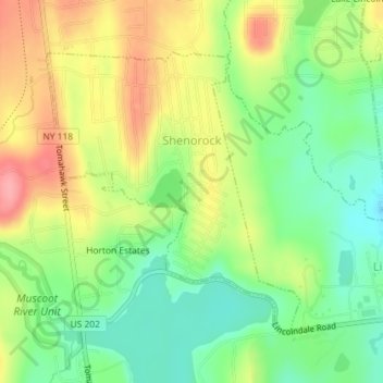
Name: Shenorock topographic map, elevation, terrain.
Average elevation: 149 m
Minimum elevation: 105 m
Maximum elevation: 203 m
Other topographic maps
Click on a map to view its topography, its elevation and its terrain.
Whitehall Corners
United States > New York > Westchester County > Town of Somers
Whitehall Corners, Town of Somers, Westchester County, New York, 10536, United States
Average elevation: 97 m