
Podentes topographic map
Interactive map
Click on the map to display elevation.
About this map
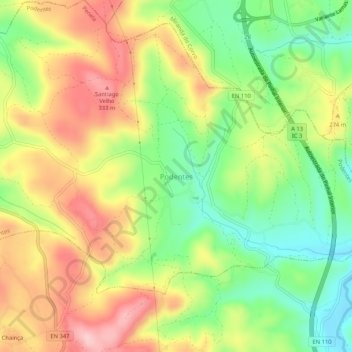
Name: Podentes topographic map, elevation, terrain.
Location: Podentes, Penela, Coimbra, 3230-529, Portugal (40.04072 -8.41519 40.08072 -8.37519)
Average elevation: 238 m
Minimum elevation: 144 m
Maximum elevation: 341 m