
Boyeruca topographic map
Interactive map
Click on the map to display elevation.
About this map
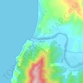
Name: Boyeruca topographic map, elevation, terrain.
Average elevation: 52 m
Minimum elevation: -1 m
Maximum elevation: 266 m
Other topographic maps
Click on a map to view its topography, its elevation and its terrain.
Pajonal
Chile > Región del Maule > Provincia de Curicó > Vichuquén
Pajonal, Vichuquén, Provincia de Curicó, Región del Maule, Chile
Average elevation: 47 m