
Dharmanagar topographic map
Interactive map
Click on the map to display elevation.
About this map
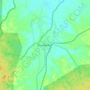
Name: Dharmanagar topographic map, elevation, terrain.
Location: Dharmanagar, Panisagar, North Tripura, Tripura, 799250, India (24.33341 92.12553 24.41341 92.20553)
Average elevation: 33 m
Minimum elevation: 22 m
Maximum elevation: 53 m
Other topographic maps
Click on a map to view its topography, its elevation and its terrain.