
Thank you for supporting this site ❤️
Make a donation
Make a donation
Mahmudabad topographic map
Click on the map to display elevation.
Thank you for supporting this site ❤️
Make a donation
Make a donation
About this map
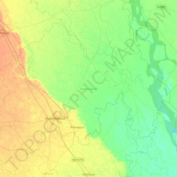
Name: Mahmudabad topographic map, elevation, terrain.
Location: Mahmudabad, Sitapur, Uttar Pradesh, India (27.21777 80.96819 27.51371 81.41530)
Average elevation: 119 m
Minimum elevation: 106 m
Maximum elevation: 136 m
Thank you for supporting this site ❤️
Make a donation
Make a donation