
Mosquero topographic map
Interactive map
Click on the map to display elevation.
About this map
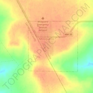
Name: Mosquero topographic map, elevation, terrain.
Location: Mosquero, Harding County, New Mexico, 87733, United States (35.76687 -103.96341 35.78157 -103.94550)
Average elevation: 1,694 m
Minimum elevation: 1,665 m
Maximum elevation: 1,706 m