
Thank you for supporting this site ❤️
Make a donation
Make a donation
Esterbrook topographic map
Click on the map to display elevation.
Thank you for supporting this site ❤️
Make a donation
Make a donation
About this map
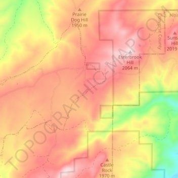
Name: Esterbrook topographic map, elevation, terrain.
Location: Esterbrook, Converse County, Wyoming, United States (42.39099 -105.42083 42.42783 -105.35445)
Average elevation: 1,929 m
Minimum elevation: 1,696 m
Maximum elevation: 2,069 m
Thank you for supporting this site ❤️
Make a donation
Make a donation