
Bhandro topographic map
Interactive map
Click on the map to display elevation.
About this map
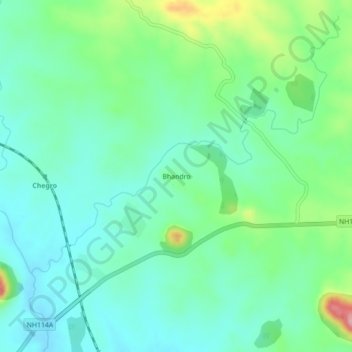
Name: Bhandro topographic map, elevation, terrain.
Location: Bhandro, Dumri, Giridih District, Jharkhand, 825167, India (24.00265 86.02054 24.04265 86.06054)
Average elevation: 313 m
Minimum elevation: 274 m
Maximum elevation: 423 m
Other topographic maps
Click on a map to view its topography, its elevation and its terrain.