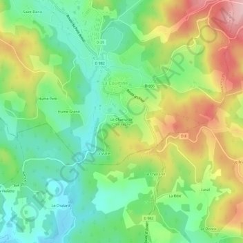
Le Champ de Chassagne topographic map
Interactive map
Click on the map to display elevation.
About this map
Name: Le Champ de Chassagne topographic map, elevation, terrain.
Average elevation: 776 m
Minimum elevation: 699 m
Maximum elevation: 896 m

Click on the map to display elevation.
Name: Le Champ de Chassagne topographic map, elevation, terrain.
Average elevation: 776 m
Minimum elevation: 699 m
Maximum elevation: 896 m