
Nares Land topographic map
Interactive map
Click on the map to display elevation.
About this map
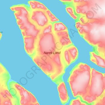
Name: Nares Land topographic map, elevation, terrain.
Location: Nares Land, Greenland (81.91374 -48.46393 82.60944 -45.07983)
Average elevation: 328 m
Minimum elevation: -1 m
Maximum elevation: 1,210 m
Other topographic maps
Click on a map to view its topography, its elevation and its terrain.