
Dingelstedt topographic map
Interactive map
Click on the map to display elevation.
About this map
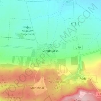
Name: Dingelstedt topographic map, elevation, terrain.
Location: Dingelstedt, Huy, Landkreis Harz, Sachsen-Anhalt, Deutschland (51.95698 10.96190 51.99698 11.00190)
Average elevation: 172 m
Minimum elevation: 103 m
Maximum elevation: 307 m