
Großer Grund topographic map
Interactive map
Click on the map to display elevation.
About this map
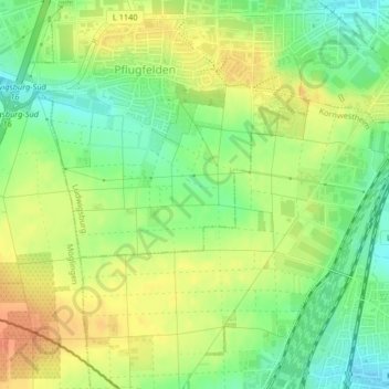
Name: Großer Grund topographic map, elevation, terrain.
Average elevation: 316 m
Minimum elevation: 294 m
Maximum elevation: 336 m
Other topographic maps
Click on a map to view its topography, its elevation and its terrain.
Ludwigsburg - Mitte
Deutschland > Baden-Württemberg > Ludwigsburg
Ludwigsburg - Mitte, Ludwigsburg, Landkreis Ludwigsburg, Regierungsbezirk Stuttgart, Baden-Württemberg, Deutschland
Average elevation: 291 m
Hoheneck
Deutschland > Baden-Württemberg > Ludwigsburg
Hoheneck, Ludwigsburg, Landkreis Ludwigsburg, Regierungsbezirk Stuttgart, Baden-Württemberg, Deutschland
Average elevation: 251 m
Oßweil
Deutschland > Baden-Württemberg > Ludwigsburg
Oßweil, Ludwigsburg, Landkreis Ludwigsburg, Regierungsbezirk Stuttgart, Baden-Württemberg, 71640, Deutschland
Average elevation: 268 m