
Thank you for supporting this site ❤️
Make a donation
Make a donation
Inveroran topographic map
Click on the map to display elevation.
Thank you for supporting this site ❤️
Make a donation
Make a donation
About this map
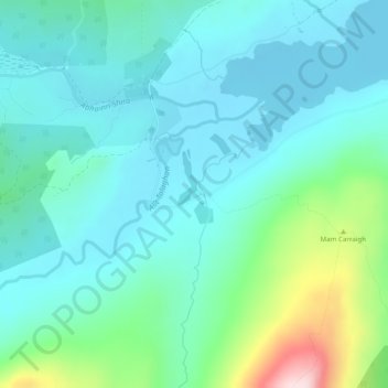
Name: Inveroran topographic map, elevation, terrain.
Location: Inveroran, Argyll and Bute, Scotland, PA36 4AQ, United Kingdom (56.52289 -4.81827 56.54289 -4.79827)
Average elevation: 227 m
Minimum elevation: 161 m
Maximum elevation: 493 m
Thank you for supporting this site ❤️
Make a donation
Make a donation