
El Bettim topographic map
Interactive map
Click on the map to display elevation.
About this map
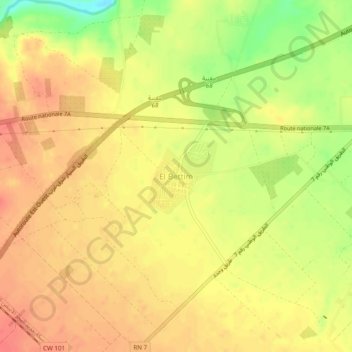
Name: El Bettim topographic map, elevation, terrain.
Location: El Bettim, Maghnia, Daïra Maghnia, Tlemcen, Algérie (34.81236 -1.82613 34.85236 -1.78613)
Average elevation: 419 m
Minimum elevation: 382 m
Maximum elevation: 437 m