
武山县 topographic map
Interactive map
Click on the map to display elevation.
About this map
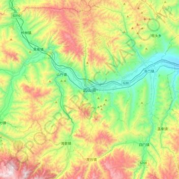
Name: 武山县 topographic map, elevation, terrain.
Location: 武山县, 天水市, 甘肃省, 中国 (34.56348 104.73193 34.88348 105.05193)
Average elevation: 1,891 m
Minimum elevation: 1,365 m
Maximum elevation: 2,795 m
Other topographic maps
Click on a map to view its topography, its elevation and its terrain.