
Kerksken topographic map
Interactive map
Click on the map to display elevation.
About this map
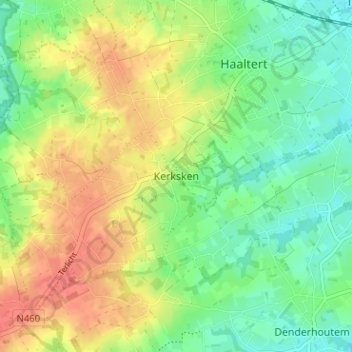
Name: Kerksken topographic map, elevation, terrain.
Location: Kerksken, Haaltert, Oost-Vlaanderen, Vlaanderen, 9450, België (50.86947 3.97360 50.90947 4.01360)
Average elevation: 44 m
Minimum elevation: 19 m
Maximum elevation: 75 m