
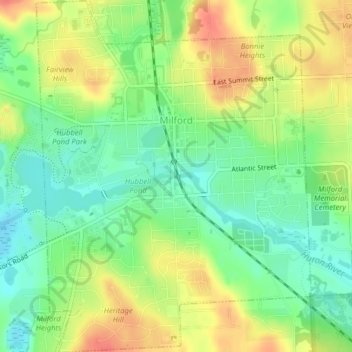
Milford topographic map
Interactive map
Click on the map to display elevation.
About this map
Name: Milford topographic map, elevation, terrain.
Location: Milford, Oakland County, Michigan, United States (42.57245 -83.61588 42.60169 -83.58482)
Average elevation: 293 m
Minimum elevation: 268 m
Maximum elevation: 323 m