
Border City topographic map
Interactive map
Click on the map to display elevation.
About this map
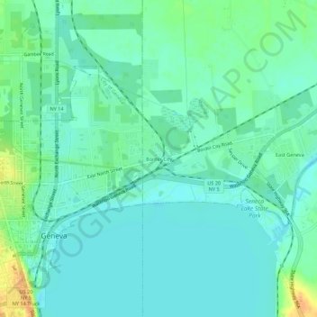
Name: Border City topographic map, elevation, terrain.
Average elevation: 142 m
Minimum elevation: 132 m
Maximum elevation: 167 m
Other topographic maps
Click on a map to view its topography, its elevation and its terrain.
Village of Waterloo
United States > New York > Seneca County > Town of Waterloo
Village of Waterloo, Town of Waterloo, Seneca County, New York, 13165, United States
Average elevation: 143 m