
Néchin topographic map
Interactive map
Click on the map to display elevation.
About this map
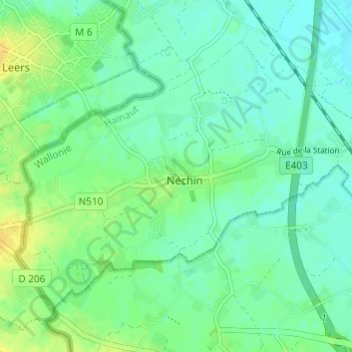
Name: Néchin topographic map, elevation, terrain.
Average elevation: 23 m
Minimum elevation: 15 m
Maximum elevation: 37 m
Other topographic maps
Click on a map to view its topography, its elevation and its terrain.
Evernijs
België > Henegouwen > Doornik-Moeskroen > Steenput
Evernijs, Steenput, Doornik-Moeskroen, Henegouwen, Wallonië, België
Average elevation: 20 m