
6145 topographic map
Interactive map
Click on the map to display elevation.
About this map
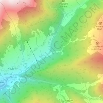
Name: 6145 topographic map, elevation, terrain.
Location: 6145, Navis, Bezirk Innsbruck-Land, Tirol, Österreich (47.13783 11.55483 47.13793 11.55493)
Average elevation: 1,651 m
Minimum elevation: 1,295 m
Maximum elevation: 2,178 m