
华山北峰 topographic map
Interactive map
Click on the map to display elevation.
About this map
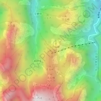
Name: 华山北峰 topographic map, elevation, terrain.
Location: 华山北峰, 渭南市, 陕西省, 中国 (34.49343 110.08106 34.49353 110.08116)
Average elevation: 1,286 m
Minimum elevation: 681 m
Maximum elevation: 1,954 m
Other topographic maps
Click on a map to view its topography, its elevation and its terrain.