
马坊村 topographic map
Interactive map
Click on the map to display elevation.
About this map
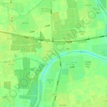
Name: 马坊村 topographic map, elevation, terrain.
Location: 马坊村, 昌平区, 北京市, 102209, 中国 (40.13184 116.38257 40.17184 116.42257)
Average elevation: 36 m
Minimum elevation: 26 m
Maximum elevation: 41 m
Other topographic maps
Click on a map to view its topography, its elevation and its terrain.