
Thank you for supporting this site ❤️
Make a donation
Make a donation
Lindau topographic map
Click on the map to display elevation.
Thank you for supporting this site ❤️
Make a donation
Make a donation
About this map
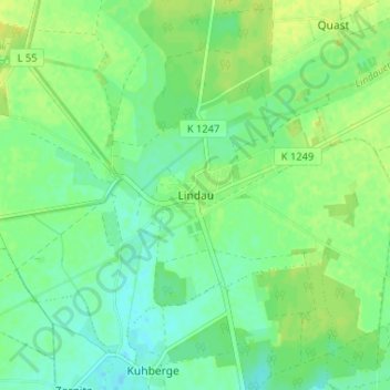
Name: Lindau topographic map, elevation, terrain.
Average elevation: 79 m
Minimum elevation: 70 m
Maximum elevation: 87 m
Thank you for supporting this site ❤️
Make a donation
Make a donation
Other topographic maps
Click on a map to view its topography, its elevation and its terrain.
Walternienburg
Deutschland > Sachsen-Anhalt > Anhalt-Bitterfeld > Zerbst/Anhalt
Average elevation: 56 m
Thank you for supporting this site ❤️
Make a donation
Make a donation
Thank you for supporting this site ❤️
Make a donation
Make a donation
Zerbst/Anhalt
Deutschland > Sachsen-Anhalt > Anhalt-Bitterfeld > Zerbst/Anhalt
Average elevation: 71 m