
Thank you for supporting this site ❤️
Make a donation
Make a donation
Aghdam topographic map
Click on the map to display elevation.
Thank you for supporting this site ❤️
Make a donation
Make a donation
About this map
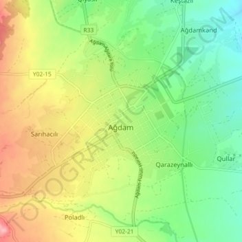
Name: Aghdam topographic map, elevation, terrain.
Location: Aghdam, Agdam District, Karabakh, Azerbaijan (39.97401 46.89501 40.00897 46.96612)
Average elevation: 370 m
Minimum elevation: 319 m
Maximum elevation: 441 m
Thank you for supporting this site ❤️
Make a donation
Make a donation