
Thank you for supporting this site ❤️
Make a donation
Make a donation
Claremont topographic map
Click on the map to display elevation.
Thank you for supporting this site ❤️
Make a donation
Make a donation
About this map
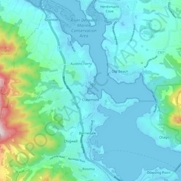
Name: Claremont topographic map, elevation, terrain.
Location: Claremont, City of Glenorchy, Tasmania, 7011, Australia (-42.80524 147.17620 -42.76541 147.28321)
Average elevation: 101 m
Minimum elevation: -4 m
Maximum elevation: 662 m
Thank you for supporting this site ❤️
Make a donation
Make a donation
Other topographic maps
Click on a map to view its topography, its elevation and its terrain.
Thank you for supporting this site ❤️
Make a donation
Make a donation
Thank you for supporting this site ❤️
Make a donation
Make a donation