
Kampung Lalang topographic map
Interactive map
Click on the map to display elevation.
About this map
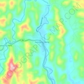
Name: Kampung Lalang topographic map, elevation, terrain.
Location: Kampung Lalang, Hulu Perak District, Perak, Malaysia (5.58286 101.06107 5.62286 101.10107)
Average elevation: 217 m
Minimum elevation: 148 m
Maximum elevation: 381 m