
Ahuaxtla topographic map
Interactive map
Click on the map to display elevation.
About this map
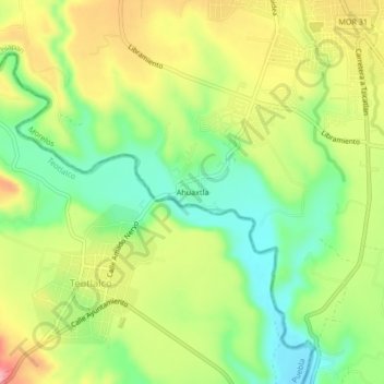
Name: Ahuaxtla topographic map, elevation, terrain.
Location: Ahuaxtla, Axochiapan, Morelos, México (18.45828 -98.78755 18.49828 -98.74755)
Average elevation: 1,005 m
Minimum elevation: 943 m
Maximum elevation: 1,080 m