
紫荆山公园 topographic map
Interactive map
Click on the map to display elevation.
About this map
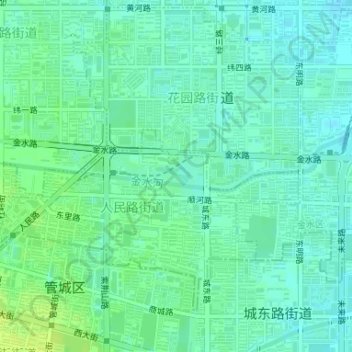
Name: 紫荆山公园 topographic map, elevation, terrain.
Location: 紫荆山公园, 人民路街道, 金水区, 郑州市, 河南省, 中国 (34.76119 113.67991 34.76435 113.68503)
Average elevation: 100 m
Minimum elevation: 94 m
Maximum elevation: 109 m
Other topographic maps
Click on a map to view its topography, its elevation and its terrain.