
Le Bourg-Est topographic map
Interactive map
Click on the map to display elevation.
About this map
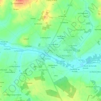
Name: Le Bourg-Est topographic map, elevation, terrain.
Average elevation: 91 m
Minimum elevation: 73 m
Maximum elevation: 124 m
Other topographic maps
Click on a map to view its topography, its elevation and its terrain.
Le Bout du Pont
France > Centre-Val de Loire > Indre > Martizay > Le Bout du Pont
Le Bout du Pont, Martizay, Le Blanc, Indre, Centre-Val de Loire, France métropolitaine, 36220, France
Average elevation: 91 m