
Grötzingen topographic map
Interactive map
Click on the map to display elevation.
About this map
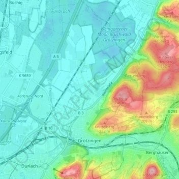
Name: Grötzingen topographic map, elevation, terrain.
Location: Grötzingen, Karlsruhe, Baden-Württemberg, 76229, Deutschland (48.99553 8.46804 49.04908 8.52258)
Average elevation: 142 m
Minimum elevation: 105 m
Maximum elevation: 259 m