
麦子坪 topographic map
Interactive map
Click on the map to display elevation.
About this map
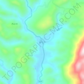
Name: 麦子坪 topographic map, elevation, terrain.
Location: 麦子坪, 龙山县, 湘西土家族苗族自治州, 湖南省, 中国 (28.83776 109.32684 28.87776 109.36684)
Average elevation: 446 m
Minimum elevation: 291 m
Maximum elevation: 898 m
Other topographic maps
Click on a map to view its topography, its elevation and its terrain.