
Wilton topographic map
Interactive map
Click on the map to display elevation.
About this map
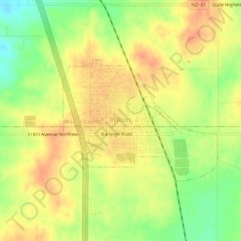
Name: Wilton topographic map, elevation, terrain.
Location: Wilton, McLean County, North Dakota, United States (47.15186 -100.79617 47.16546 -100.77065)
Average elevation: 658 m
Minimum elevation: 633 m
Maximum elevation: 673 m
Other topographic maps
Click on a map to view its topography, its elevation and its terrain.
Washburn
United States > North Dakota > McLean County
Washburn, McLean County, North Dakota, 58577, United States
Average elevation: 543 m
Riverdale
United States > North Dakota > McLean County > Riverdale
Riverdale, McLean County, North Dakota, 58565, United States
Average elevation: 586 m