
苦水岔 topographic map
Interactive map
Click on the map to display elevation.
About this map
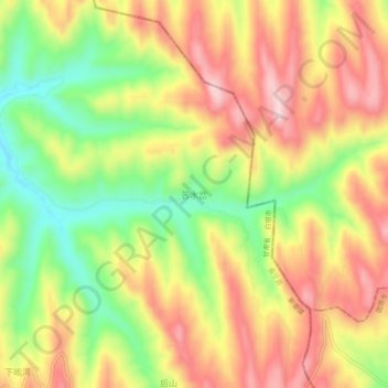
Name: 苦水岔 topographic map, elevation, terrain.
Location: 苦水岔, 新塬镇, 会宁县, 白银市, 甘肃省, 中国 (36.18239 105.45003 36.22239 105.49003)
Average elevation: 2,109 m
Minimum elevation: 1,958 m
Maximum elevation: 2,243 m